
WITH a wet and windy weekend ahead, forecasters say the weather will turn chilly on Sunday, with a chance of snow early next week.
Rain and strong winds will once again sweep across the UK overnight on Friday and through Saturday morning with the potential for 60-70 mm of rain over the high ground of South Wales.
Yellow warnings for rain have been issued for Wales and western parts of England.
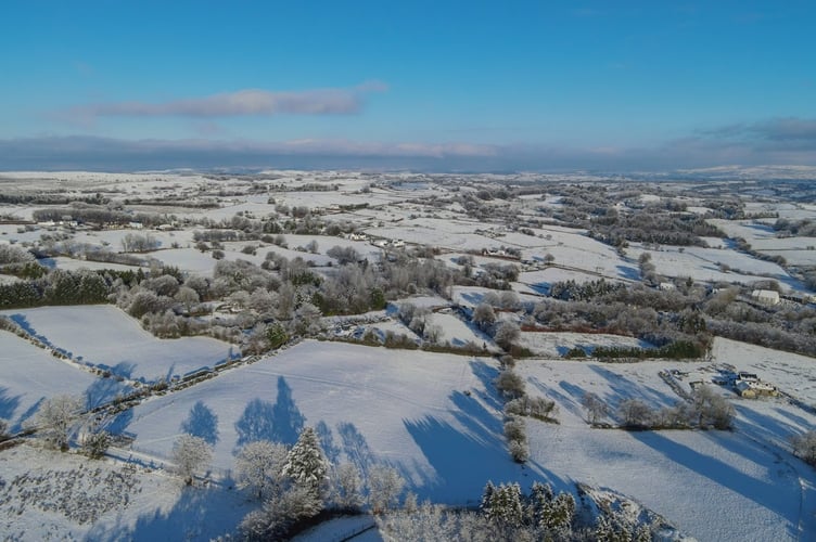
The weather is set to turn colder from Sunday however, with forecasters at Accuweather saying Aberystwyth has a 50 per cent chance of seeing a coating to a centimetre of snow on Tuesday morning between 5am and 7am.


The forecasters also say that Machynlleth has a 64 per cent chance of snow on Tuesday, with Lampeter possibly seeing up to 2cm of snowfall later in the day.
Accuweather's Wintercast suggests a 37 per cent chance of a snow covering in Porthmadog early next week, and a 39 per cent chance in Cardigan.
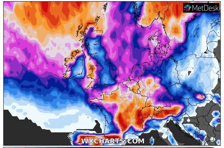
The Met Office says by Sunday most of the UK will be in the northerly airflow, with lower temperatures spreading further south overnight. Showers will fall increasingly as sleet and snow in the north, even to lower levels. Some showers further South and West, and perhaps a more persistent spell of rain overnight into Monday, could also turn to sleet and snow mainly over high ground such as the Brecon Beacons, Exmoor and Dartmoor.
Overnight frost will become more widespread by Monday night, with overnight temperatures below 0°C across much of the UK.
Deputy Chief Meteorologist, Helen Caughey, said: “After a spell of wet and mild weather to start 2023, a brief cold spell will change the feel of our weather across the UK for a few days next week. As a northerly flow establishes, we’ll see temperatures decline with overnight frosts returning and the chance of wintry showers in the north. It will certainly feel cold in all regions too, with the northerly winds creating a notable windchill.”
The colder spell is expected to be short lived, with milder air moving in from the Atlantic bringing wet and windy conditions back to the UK towards the end of the week. There is a chance of some transient snow on the leading edge of the frontal rain as it moves through however the detail on this is currently uncertain.
Comments
This article has no comments yet. Be the first to leave a comment.