
A MEDIEVAL map unearthed by two scientists seems to give evidence of the existence of the legendary lost kingdom of Cantre’r Gwaelod.
The legend of Cantre’r Gwaelod tells a tale of a lost land sunken beneath the waters of Cardigan Bay, which was first written about in the 13th Century.
A newly uncovered map discovered by two professors in the Bodleian Library in Oxford University, depicts two islands in Cardigan Bay, which no longer exist.
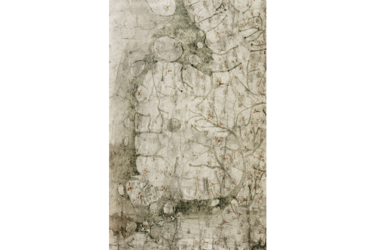


The Gough Map, the oldest map of Great Britain which dates back 800 years, clearly shows two islands lying offshore, one between Aberystwyth and Aberdyfi and the other between there and Barmouth to the north.
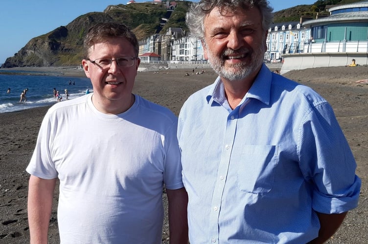
The discovery has led to the publication of a paper by Simon Haslett, Professor of Physical Geography at Swansea University, whilst he was at Jesus College under a Short-term Visiting Fellowship, and David Willis, Jesus Professor of Celtic at the University of Oxford.
These ‘lost’ islands have not previously been the focus of a study and, in reviewing the local geological context, the authors suggest that they are likely to be the remnants of a low-lying landscape underlain by soft glacial deposits laid down during the last ice age which has since been dissected by rivers and truncated by the sea.
The paper says: “As finer sediments of glacial deposits are eroded away the larger gravel and boulder component is left on the seafloor, and it is perhaps not surprising that the position of the islands coincides with the location of submarine accumulations of gravel and boulders, known locally as sarns.
“Although the sarns are considered by scientists to have been left behind by glaciers, any gravel and boulders released by the erosion of any islands would contribute to the accumulations.”
The authors say that the legend of Cantre’r Gwaelod, first referenced in the Black Book of Carmarthen, supports the theory that the islands existed.
Furthermore, coordinates provided for the location of the mouth of the River Ystwyth by the Roman cartographer Ptolemy suggest the coastline at the time may have been some 13 km further seaward than now.
Professor Haslett says that the research, published in the journal Atlantic Geosciences, “proposes a provisional framework for the evolution of Celtic coasts along the European seaboard and increases our understanding of potential coastal processes acting along the coast of Cardigan Bay where some towns are vulnerable to climate and sea-level change, and likely to result in some of the first climate change refugees in the UK”.
Comments
This article has no comments yet. Be the first to leave a comment.