
A weather warning for strong winds has been issued for parts of Wales as the Met Office names the first storm of the season.
A deep area of low-pressure has been named Storm Amy by the Met Office and is expected to develop rapidly as it approaches the UK on Friday, bringing very strong winds and heavy rain to many northern and western areas.
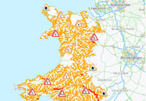
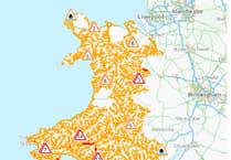
The warning area currently covers the Llyn Peninsula and goes as far south as Dyffryn Ardudwy, north of Barmouth and runs from 6pm Friday until the end of Saturday.
The yellow warning states: "Storm Amy is expected to bring a spell of very strong winds to many parts of northern Britain later on Friday and into Saturday.


"Westerly winds will pick up during Friday, initially in the west before extending eastwards during Friday night. Gusts of 50 to 60 mph are likely for many areas and may reach 60 to 70 mph in some places for a time.
"Exposed coasts and hills will see the highest gusts which could exceed 80 mph. "The strongest winds currently look more likely over parts of northern Scotland. This will lead to difficult driving conditions for high sided vehicles on prone routes such as cross winds on exposed or high level routes."
Met Office Deputy Chief Meteorologist Tom Crabtree, said; “Although there is still some uncertainty about the exact track Storm Amy will take, the system will bring gale force winds across northern and western regions, with gusts widely reaching 50 to 60 miles per hour inland in northern Britain, and potentially reaching 70 to 80 miles per hour in places. With even stronger gusts on exposed coasts and hills, mainly in the northwest.
“Heavy rainfall is also expected, in particularly over western Scotland, where totals could exceed 30-50 mm in 6-9 hours, increasing the risk of localised flooding. Forecasts and warnings will be updated as the situation becomes more clear, therefore it is important to keep an eye forecast for your area over the coming days.”
Comments
This article has no comments yet. Be the first to leave a comment.