
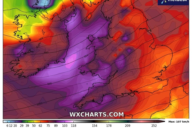
WALES is waking up to Storm Gerrit this morning with winds of up to 75mph possible later today along exposed coasts.
There are two yellow warnings in place across Wales today for heavy rain throughout the day and strong winds from 6pm.
The Met Office says the brief spell of very windy conditions is likely to bring some disruption.
The rain warning has been in place since midnight and runs until 6pm tonight and says 30-40 mm of rain is expected to accumulate quite widely.


Across high ground of south and west Wales 70-90 mm of rain could develop during this period. Strong winds will likely exacerbate any impacts from the rain.
Natural Resources Wales currently has 43 flood alerts across Wales and three flood warnings in place in Carmarthenshire.
The alerts include:
Llyn Peninsula and Cardigan Bay coastlines.
Mawddach and Wnion catchment from Fairbourne to Ganllwyd and Rhydymain.
Dyfi catchment from Dinas Mawddwy and Llanbrynmair to the estuary, including Machynlleth.
Rivers Rheidol, Ystwyth and Clarach in the Aberystwyth area.
Mid Ceredigion, including Aeron
Lower Teifi downstream of Llanybydder and upper Teifi upstream from Llanybydder.
Upper Dee catchment from Llanuwchllyn to Llangollen.
The warning for heavy winds this evening comes into effect from 6pm and runs until 3am on Thursday.
The wind warning says: "During Wednesday evening and night, a further spell of very strong southwesterly winds is expected to sweep east to produce gusts of 50 to 60 mph.
"There is also the potential for gusts of around 70-75 mph near exposed coasts and over high ground. Heavy, squally showers will accompany these strong winds.
"The winds will ease later in the night."
A high tide of 4.59 metres is due in Aberystwyth at 8.13pm this evening.
Dyfed-Powys Police is advising those travelling today to take care whilst driving and plan extra time into your journey.
Comments
This article has no comments yet. Be the first to leave a comment.