

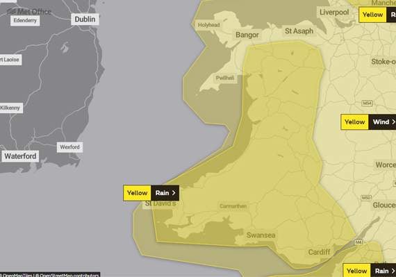
West Wales looks set for another wet and windy weekend as Storm Jorge approaches.
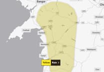
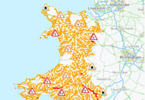
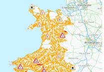
A yellow warning for rain has been issued from 6am on Friday, with spells of heavy rain likely to affect several parts of the already saturated country.
Between 20mm and 40mm of rain is likely to fall quite widely, with 50mm to 70mm over high ground, and perhaps as much as 100mm in one or two very prone upland spots.
The heaviest rain is most likely on Friday night before clearing eastwards on Saturday morning.
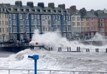
As the rain sweeps away, a yellow warning has been put in place for wind from midday on Saturday until midday Sunday.
The Met Office says: "Strong winds will move into south-western parts of the UK by Saturday afternoon, and steadily move north-east through the course of Saturday evening and overnight into Sunday morning.
"Gusts of 50-60mph are likely quite widely, and especially in association with heavier showers across England and Wales during Saturday afternoon.
"More isolated gusts of 65-70mph, particularly on coasts and other exposed areas, are probable."
The storm has been named by the Spanish meteorological services, who are currently up to the letter J in their naming system, instead of Met Éireann, who usually name storms across Ireland and the UK, which is why this storm isn’t named Ellen.
Comments
This article has no comments yet. Be the first to leave a comment.