
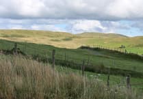
Aberystwyth University is playing a major role in quantifying the changing distribution of carbon in the World’s forests and their contribution to our changing climate.
From now on, maps of the carbon contained within forests will be released annually, building upon a library of data covering most years between 2007-2022.
The project is part of the European Space Agency’s Climate Change Initiative (ESA CCI) Biomass project.
It involves more than 500 scientists and data engineers from across Europe.
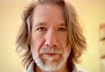
Professor Richard Lucas from Aberystwyth University’s Department of Geography and Earth Sciences has managed the project since 2019.
He said: “These maps are vital in tracking how carbon is changing in some of the densest areas of vegetation around the world.
“Around 50 per cent of the weight of trees is carbon so these maps give the most accurate picture to date of carbon stocks around the world.”
Heather Friendship-Kay, Project Coordinator for Biomass, said: “The maps provide the longest record of biomass globally and provide a major dataset to assist climate modelling and carbon science. The project has also benefited enormously from the provision of radar data from ESA and the Japanese Aerospace Exploration Agency (JAXA).”
The maps‘ release coincides with the launch of ESA new BIOMASS satellite at the end of April.
The satellite uses longer radar wavelengths that penetrate cloud.
The BIOMASS mission will provide new information on the carbon amounts in many tropical and temperate forests that store the greatest quantities of above ground biomass and particularly those above 350-400 tonnes per hectare.
Professor Lucas added: “We hope and anticipate that data from this mission, once available, will be able to extend the record of biomass stored in the world’s forests, with this reducing uncertainties in the global carbon cycle and its contribution to climate change.”
Comments
This article has no comments yet. Be the first to leave a comment.